 GetYourGuide
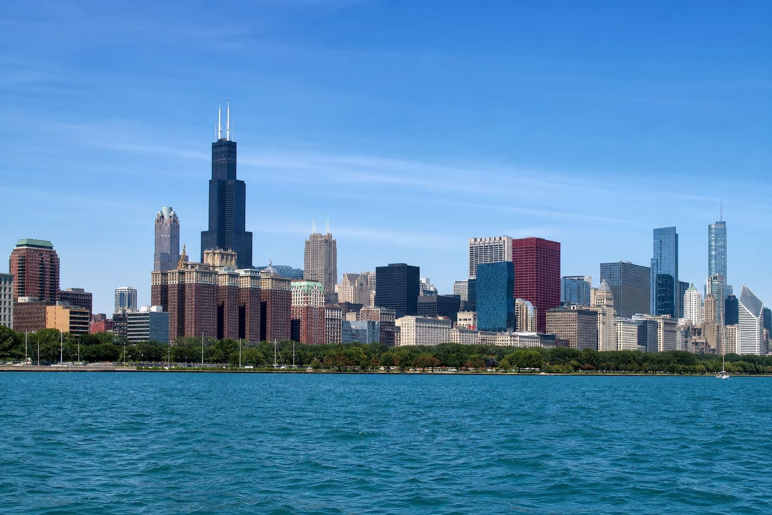
90-Minute Architecture Cruise
Shared ticketed cruise · Chicago River
Bookable experience · GetYourGuide
4.8 ★ (9,000+ reviews)
Check availability & price
See Cruise Times →Southern Lake Michigan · Winthrop Harbor / North Point Marina
Official NOAA/NWS area forecasts and alerts for recreational boaters — plus a plain-language conditions summary. These are area products, not exact harbor- or ramp-mouth observations. Always verify marine products on weather.gov before you cast off. Currently showing the nearest official area forecast for Winthrop Harbor / North Point Marina.
Forecasts come from the nearest National Weather Service grid and station for each area.
Boating conditions summary
Good
Good — No elevated wind, wave, or advisory factors from available data.
Boating conditions can change quickly. This rating is informational only and is not a substitute for official NOAA/NWS marine forecasts, local regulations, or the judgment of a qualified captain.
Use these resources alongside the official forecast above. They are planning links — not recommendations based on today's rating.
Sunrise
7:15:14 AM
Sunset
5:55:31 PM
Observed near Winthrop Harbor / North Point Marina for recreational boaters. On-water conditions can differ from land station readings — always cross-check the nearshore marine forecast before you leave the harbor.
Chicago/Waukegan Regional Airport (KUGN) · Observed 10/24/2026, 11:35:00 PM
Air temp
55°F
Feels like
55°F
Conditions
Clear
Wind
5 mph
Wind direction
S
Gusts
Not currently available from source
Humidity
88%
Visibility
10 mi
Wave and water readings come from NOAA buoy data when the station reports them. Missing values mean the buoy did not report that field — we never invent lake numbers.
Water temperature
Not currently available from source
Wave height
~1 ft
Buoy
45174
NOAA buoy 45174 sits off Chicago — treat these readings as a southern Lake Michigan reference, not a local Winthrop Harbor / North Point Marina observation.
No active alerts returned for Winthrop Harbor / North Point Marina from the NOAA/NWS feed right now. Re-check weather.gov before you go — products can change quickly.
NWS hourly grid forecast for Winthrop Harbor / North Point Marina. Watch wind shifts and thunderstorm chances before afternoon lake trips.
7 AM
51°
Patchy Fog
Wind 5 mph · 1%
8 AM
52°
Mostly Sunny
Wind 10 mph · 1%
9 AM
56°
Mostly Sunny
Wind 10 mph · 1%
10 AM
59°
Partly Sunny
Wind 10 mph · 1%
11 AM
62°
Mostly Sunny
Wind 10 mph · 1%
12 PM
64°
Mostly Sunny
Wind 10 mph · 1%
1 PM
65°
Mostly Sunny
Wind 10 mph · 1%
2 PM
65°
Partly Sunny
Wind 10 mph · 1%
3 PM
65°
Partly Sunny
Wind 10 mph · 1%
4 PM
64°
Partly Sunny
Wind 10 mph · 1%
5 PM
63°
Partly Sunny
Wind 10 mph · 2%
6 PM
62°
Mostly Cloudy
Wind 10 mph · 2%
7 PM
60°
Mostly Cloudy
Wind 10 mph · 4%
8 PM
59°
Mostly Cloudy
Wind 10 mph · 4%
9 PM
58°
Mostly Cloudy
Wind 10 mph · 4%
10 PM
58°
Mostly Cloudy
Wind 10 mph · 3%
11 PM
57°
Mostly Cloudy
Wind 10 mph · 3%
12 AM
56°
Partly Cloudy
Wind 10 mph · 3%
1 AM
56°
Partly Cloudy
Wind 10 mph · 3%
2 AM
55°
Partly Cloudy
Wind 10 mph · 3%
3 AM
54°
Partly Cloudy
Wind 10 mph · 3%
4 AM
53°
Partly Cloudy
Wind 10 mph · 3%
5 AM
52°
Partly Cloudy
Wind 10 mph · 3%
6 AM
52°
Mostly Sunny
Wind 10 mph · 3%
Today
65°F
Patchy Fog then Partly Sunny
Patchy fog before 8am. Partly sunny. High near 65, with temperatures falling to around 63 in the afternoon. South wind 5 to 10 mph.
Wind S 5 to 10 mph · Precip 2%
Tonight
51°F
Mostly Cloudy
Mostly cloudy, with a low around 51. South wind around 10 mph.
Wind S 10 mph · Precip 4%
Sunday
72°F
Mostly Sunny
Mostly sunny. High near 72, with temperatures falling to around 69 in the afternoon. South wind 5 to 10 mph.
Wind S 5 to 10 mph · Precip 3%
Sunday Night
51°F
Mostly Cloudy
Mostly cloudy, with a low around 51. West southwest wind 5 to 10 mph.
Wind WSW 5 to 10 mph · Precip 0%
Monday
60°F
Mostly Cloudy
Mostly cloudy, with a high near 60. North northeast wind 10 to 15 mph.
Wind NNE 10 to 15 mph · Precip 0%
Monday Night
48°F
Mostly Cloudy
Mostly cloudy, with a low around 48.
Wind NE 15 mph · Precip 0%
Tuesday
61°F
Mostly Cloudy
Mostly cloudy, with a high near 61.
Wind ESE 10 to 15 mph · Precip 2%
Tuesday Night
51°F
Mostly Cloudy
Mostly cloudy, with a low around 51.
Wind SE 5 to 10 mph · Precip 2%
Wednesday
68°F
Mostly Sunny
Mostly sunny, with a high near 68.
Wind S 5 to 10 mph · Precip 9%
Wednesday Night
51°F
Partly Cloudy
Partly cloudy, with a low around 51.
Wind SW 5 to 10 mph · Precip 12%
Thursday
66°F
Mostly Sunny
Mostly sunny, with a high near 66.
Wind WSW 5 to 10 mph · Precip 11%
Thursday Night
47°F
Partly Cloudy then Slight Chance Rain Showers
A slight chance of rain showers after 1am. Partly cloudy, with a low around 47.
Wind WSW 5 mph · Precip 18%
Friday
63°F
Slight Chance Rain Showers
A slight chance of rain showers. Mostly sunny, with a high near 63.
Wind S 5 to 10 mph · Precip 21%
Friday Night
48°F
Slight Chance Rain Showers
A slight chance of rain showers. Mostly cloudy, with a low around 48.
Wind S 5 mph · Precip 22%
Conditions look favorable for many recreational boaters — always verify official NOAA/NWS marine forecasts and use your own judgment. Here are popular Chicago water experiences you can book online.
GetYourGuideShared ticketed cruise · Chicago River
Bookable experience · GetYourGuide
4.8 ★ (9,000+ reviews)
Check availability & price
See Cruise Times →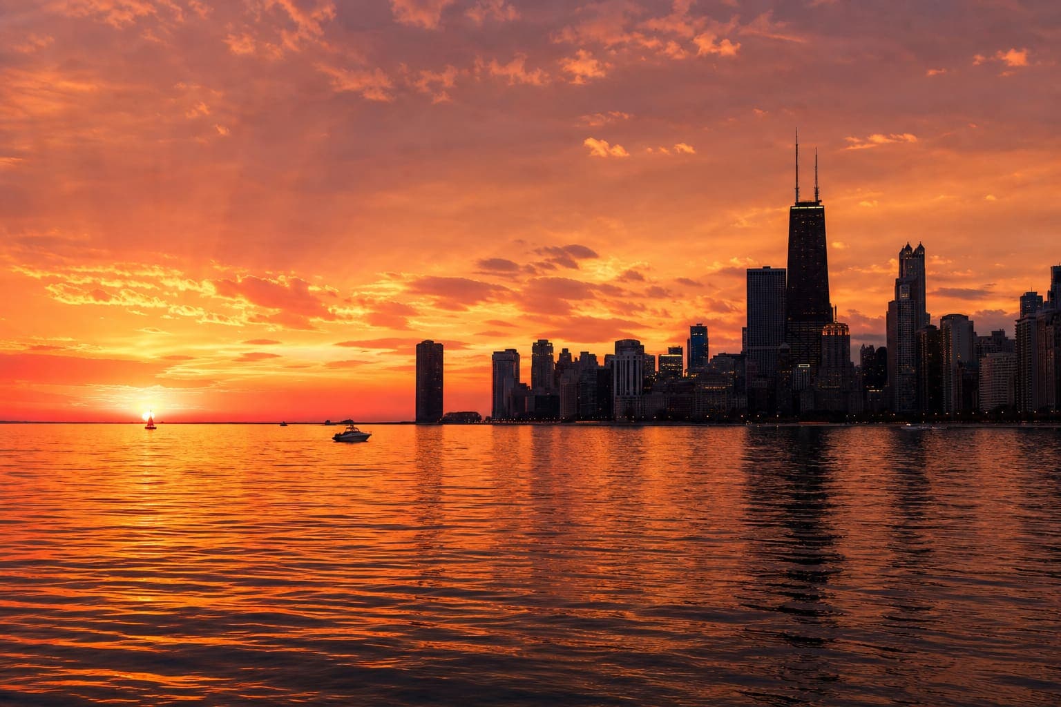 GetYourGuide
Shared ticketed cruise · Lake Michigan
Bookable experience · GetYourGuide
4.7 ★ (750+ reviews)
Check availability & price
See Cruise Times →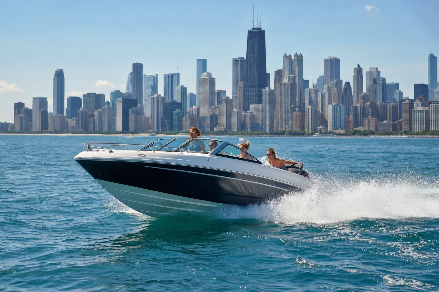 GetYourGuide
Shared ticketed cruise · Lake Michigan
Bookable experience · GetYourGuide
4.5 ★ (450+ reviews)
Check availability & price
Check Availability →Ratings and review counts from GetYourGuide (or Viator where noted). Not BoatingChicago reviews.
Boating Chicago may earn a commission when you book or shop through links on this page, at no additional cost to you. Learn more.
Downtown air temperature is not the same as Lake Michigan. Wind over open water builds chop faster than the same breeze feels on land, and thunderstorms can arrive with little room to run for a harbor.
As a conservative rule of thumb for small recreational boats: winds climbing through the teens often mean a tougher ride; mid-20s and higher — especially with gusts or a small craft advisory — are a strong reason to stay docked unless you and your vessel are truly prepared.
This site's Good / Caution / Poor summary is informational only. Official NOAA/NWS marine forecasts and a qualified captain's judgment always come first.
A quick read of conditions, official alerts, and recent source-cited updates for Lake Michigan boaters.
Boating conditions summary
Good
Good — No elevated wind, wave, or advisory factors from available data.
Boating conditions can change quickly. This rating is informational only and is not a substitute for official NOAA/NWS marine forecasts, local regulations, or the judgment of a qualified captain.
Official alert spotlight
No active alerts returned for configured nearshore zones right now — re-check before you go.
Seasonal tip
Lake Michigan water stays colder than downtown air for much of the season — dress for the water temperature, not the skyline temperature.
Safety
Official updateBoatingChicago Weather · 10/24/2026
Read at BoatingChicago Weather →Lake Michigan
Official updateNOAA / NWS observations · 10/24/2026
Read at NOAA / NWS observations →Lake Michigan
Official updateNOAA buoy / lake observations · 10/24/2026
Read at NOAA buoy / lake observations →Safety
Block Club Chicago · 10/23/2026
Read at Block Club Chicago →Fishing
Wisconsin Sea Grant · 10/13/2026
Read at Wisconsin Sea Grant →Last fetched 10/24/2026, 11:54:42 PM (approx. 15-minute cache). Observation timestamps older than 3 hours are treated as stale and shown as caution — never as a fresh “Good” day.